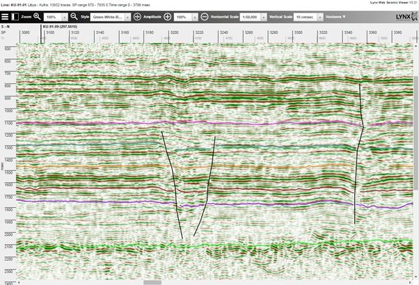
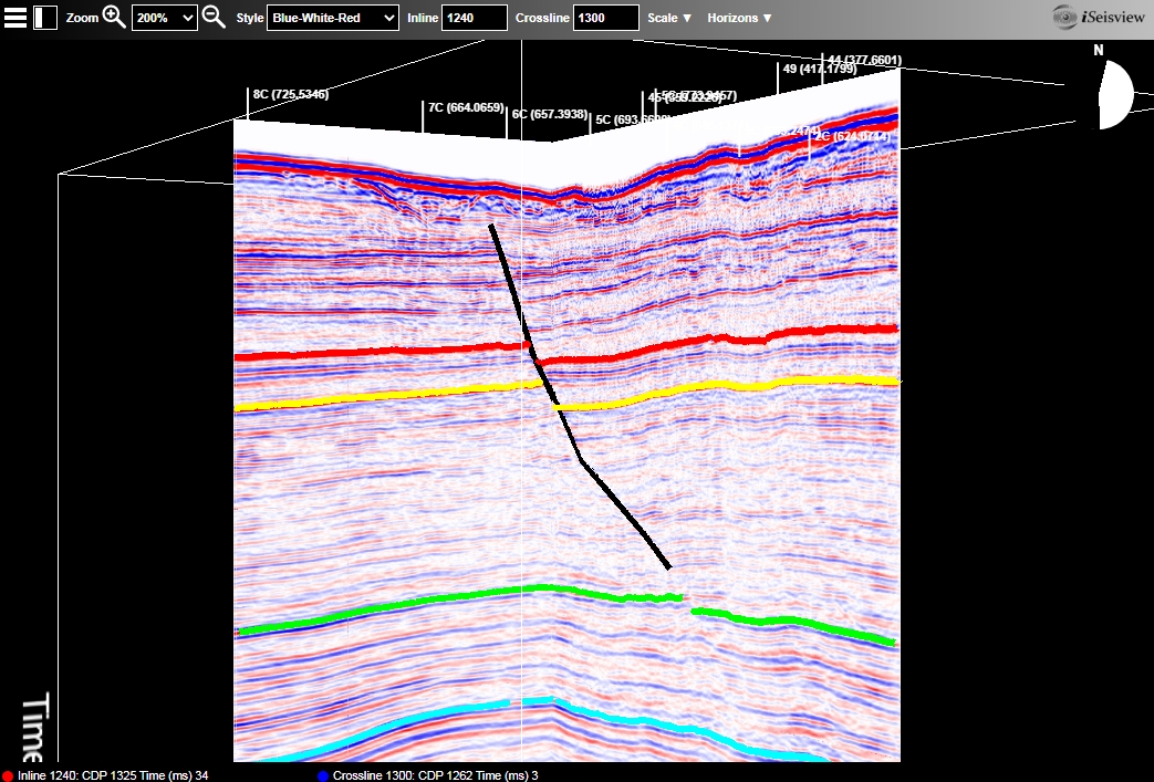
iSeisview is a seismic viewer app for web browsers. It will display 2D lines and 3D inline and crossline profiles, with an interactive selection of display styles, zoom levels, horizontal and vertical scales and trace amplitudes.


Horizon and fault interpretation may optionally be displayed on the seismic profiles.
iSeisview works in all modern web browsers on desktop PCs and mobile devices - including Google Chrome and Mozilla Firefox on Windows and MacOS, Microsoft Internet Explorer (version 8 and up) and Microsoft Edge on Windows, Apple Safari and Google Chrome on iOS (for iPads and iPhones) and Google Chrome on Android devices.
iSeisview provides secure real-time access to seismic trace data, while protecting the digital SEGY source data from acsess by users. Your SEGY data is never exposed directly to users, but is transmitted as auto-generated cacheable image tiles which are reassembled in the browser client to display the requested seismic profile.
iSeisview can be integrated into your existing enterprise data portal or web mapping applications, or it may be used as a standalone web app with an integrated basemap.
A live example of iSeisview and iLogview is available here.
Web server system requirements
- Microsoft Windows Server 2012 or newer
- Apache Tomcat 8 (or newer)
- Java JDK 8
Supported databases (optional)
- PostgreSQL 10 (or newer) with PostGIS 2.5 (or newer)
- Microsoft SQL Server 2012 or 2016
- Oracle Spatial 11gR2
Contact us to discuss your requirements and the licensing options available.

